 |
| Dragon Ridge as viewed driving south towards Rockhound SP. It lies at the northern base of the Florida Mountains. |
We set up camp at Rockhound State Park, which is a extensively developed. Located on the western slope of the Little Florida Mountains, the view was very hard to beat. Our group site had several picnic tables and numerous electrical outlets as well as overhead lights so we could work on our mapping at night. There was also a full restroom with flushing toilets and a hot water shower to boot. It really seemed odd to have such facilities when camping, but the workspace was much appreciated and it was nice to eat at a table for dinner as well.
 |
| View of the Little Florida Mountains from Rockhound SP, taken from the park website. It really is just like this. |
From here we measured orientations in the Bliss Sandstone which appears to be derived from the Capitol Dome granite and is Ordovician in age. The Bliss was a dark maroon for the most part in our area, with heavy mineral lamination common in the outcrop we encountered. From here we walked up section some more to the El Paso Formation which was predominantly a mottled limestone, which was eventually succeeded by the Montoya Formation which is entirely composed of dolostone. Lastly we came upon the Lobo Formation which was a nodular, brick red conglomerate.
 |
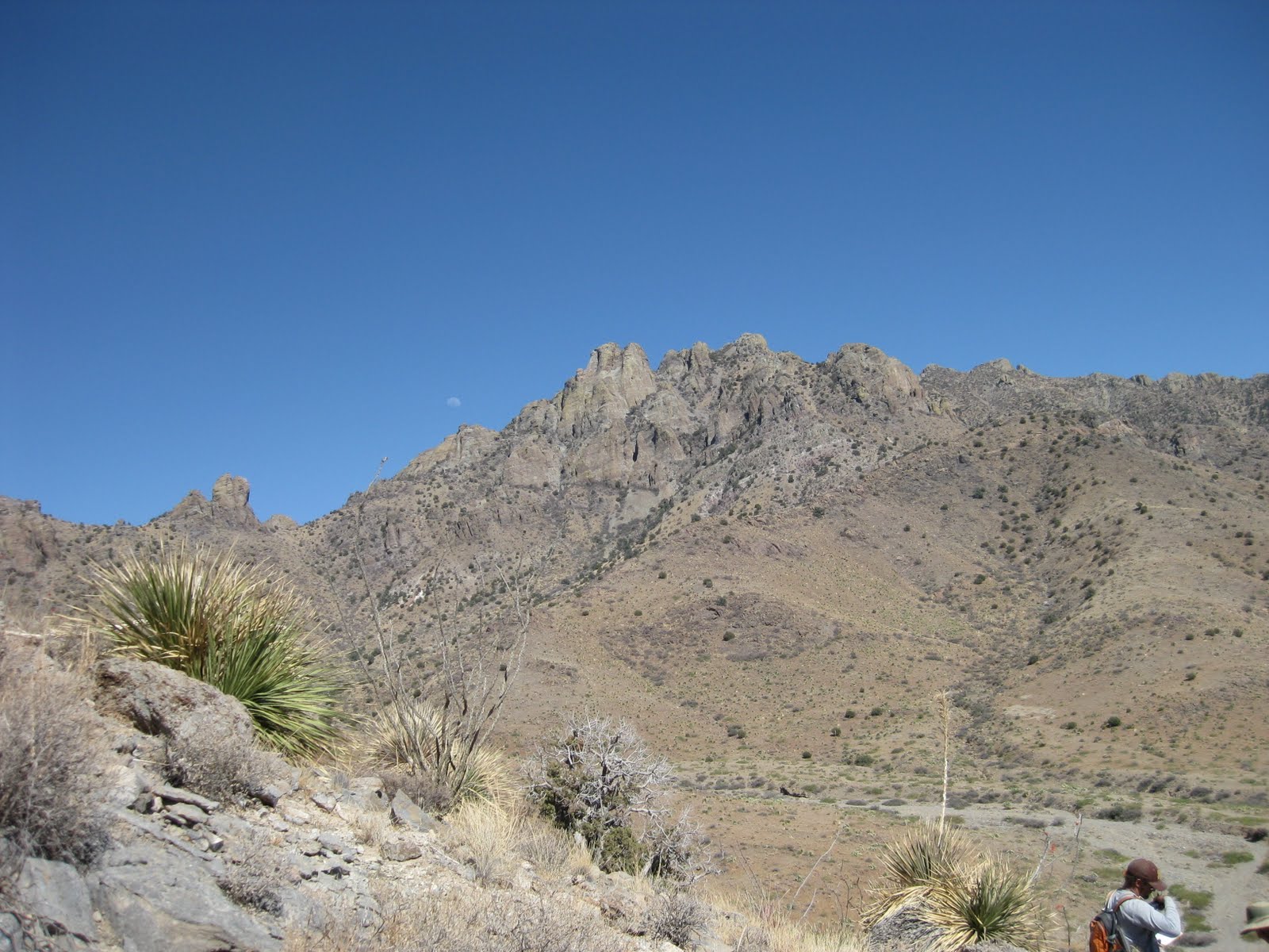
| Our field camp group investigates the El Paso Formation. Capitol Dome looms in the background. |
 |
| I lost my hammer somewhere along here, but I never found exactly where. |
 |
| The dust storm from the afternoon blocked our view even from the top of the hill. We could still see our 'burbs at the base though. |
Day 2
After such an auspicious start and with a poor night of sleep due to the wind, I was less eager to head out into the field than I expected to be. We were heading for a new portion of the map area called Mexican Canyon which made up the northeastern most portion of our map area. We began by examining foliations in a tan, quartzofeldspathic gneiss known as the Mexican Canyon Gneiss. This geniss is dated to the Precambrian at 1.68 Ga and it was on this gneiss we spent our mornings improving our abilities of taking trend and plunge attitudes. We continued on, encountering numerous felsic and intermediate dikes of varying size and extant.
 |
| Great view of the foliation in the Mexican Canyon Gneiss. |
On the way back we stumbled across the Bliss again, with its characteristic granite-derived clasts but sitting conformably above the bliss was a pure white sandstone we initially called a quartzite so dense and pure in SiO2 it was a difficult call. After finding our camp instructor Dr. L he informed us it was known as the Snow White Member of the Bliss Sandstone and was actually a quartz arenite. The rock had interstitial kaolinite and was very difficult to get an attitude from. We could however trace the points where it pinched out against the El Paso Formation relatively well and from this we determined there was an unconformity between the crystalline basement (Mexican Canyon gneiss and Capitol Dome Granite) and sedimentary rocks overlying it which caused progressive pinch outs as one moved up section and to the southwest.
 |
| Brecciated limestone from karsting activity, possibly related to an unconformity exposing this El Paso Formation limestone to weathering into these blocks which eventually collapsed and were preserved. |
We ended the day by visiting the mines on our map which commonly were located on normal faults with mappable or at least significant offset all along the mountain near Mexican Canyon. It was a productive day even though our map did not have a remarkable amount of new data on it, but it got even better. A classmate had revisited the area from the first day and had stumbled upon my rock hammer! It was a great bit of luck and it definitely improved my mood for the rest of field camp.
Day 3
 |
| Pure calcite in a drainage of El Paso limestone. |
We returned to Mexican Canyon in order to improve our granite-gneiss "contacts" and then worked our way over the mountain along drainages cutting down through the El Paso Formation. It was in these drainages that we found impressive calcite veins, some of which appeared to have been prospected.
 |
| Often the rhombs of calcite were very impressive and I managed to keep a sample. |
As we made our way out of the steep hills of El Paso Formation we noticed the Montoya Formation appears to pinch out at the top of the hill we had been climbing, providing further evidence for another unconformity resting on El Paso limestone. We spent the mid-day by taking attitudes from saddle of the mountain below the looming Capitol Dome and trying to puzzle out a few faults which we decided lacked enough offset to warrant mapping by the end of our deliberations.

We finished the day by considering a complex body of carbonate stratigraphy (El Paso and or Montoya Formations) along the far southwestern portion of the map area and by walking around the perimeter of the map area taking contacts of the Bliss Ss and Capitol Dome Granite.

As we made our way back to the vehicles, we found this mine which extended an impressive distance into the earth but since we were pressed for time to return to our 'burb we didn't dwell here as much as we would have liked. It was nice to have a cool, dark place to rest for a minute in...

Day 4
We began day four in a larger group than usual to investigate the southeast section of the map at first which consisted of a complex amalgamation of basement rock. I regret not taking photos because the igneous contact relationships between the Mexican Canyon Gneiss (which was often baked black) and a particularly arkosic version of the Capitol Dome Granite were really interesting and perplexing. There were also some interesting andesite dikes along the margins of this crystalline body, which further obscured the textures of the original rock. After considering the area for a while I decided to call the more vague portions of the outcrop crystalline basement undifferentiated and move on to the more pressing portions of the map.
 |
| The moon was a constant companion even during the day during this week of field camp. |
 |
| A small scale fold in the carbonate section. I believe it was in the El Paso Fm. |
Day 5
Our final day in this field area was largely spent cleaning up our interpretations and measurements of the low angle fault in the southern portion of the map area. We traced this fault all the way up to the peak of the mountain, where it cut even the Rubio Peak Formation which was the young andesite and related deposits which make up the dome of Capitol Dome. This implies this low angle detachment fault is younger than the ~37-24 Ma andesite from Rubio Peak.
 |
| A great exposure of the fault surface. There were what appeared to be flow banded rhyolite bodies near the surface, probably formed due to the intense shear the fault induced. |
The main point of this day was to summit the peak of Capitol Dome and reach the base of the dome itself. The dome is highly friable and yet a mapping companion said he had seen pictures of climbers on top of it, without climbing gear. This definitely put my short hike up to the dome into perspective relative to reaching the true apex of the area, but the view was hard to beat nonetheless.

Conclusions
Looking back at this map area, it seemed very ambitious for a first map during field camp, but given our several weeks of mapping in the field class during the semester it wasn't so steep a learning curve as it first seemed. The map was supposed to focus on the igneous contact relationships between the Capitol Dome Granite, Mexican Canyon Gneiss, and the Bliss Sandstone but I think the low angle detachment fault stole the show. We definitely got our hiking in that first week, which whipped me into shape in short order and the high winds abated for the last few days of mapping but they would be back in force for the next map...


No comments:
Post a Comment